 02-14-2011, 01:54 PM
|
#4 |
|
Senior Member

Join Date: Mar 2010
Location: Santee
Posts: 904
|
this:
 running this: http://gps.motionx.com/iphone/overview/ inside this: 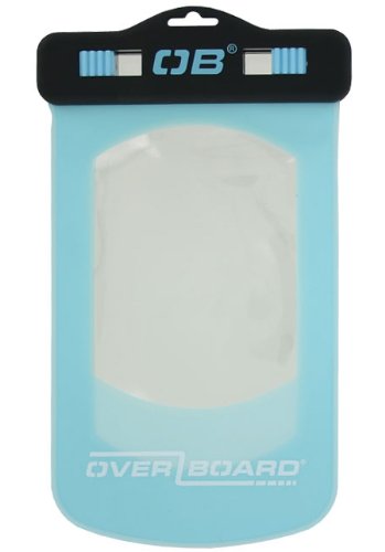 I also run this for depth info:  from: http://www.flytomap.com/ftm/mapcatg.aspx The two GPS/Nav apps were $5 total. The phone was a little more. The bag was about $30 - not good for taking pics. As for the GPS app, easy to use. Waypoints easy to enter, and easy to set for navigating. Easy to set up to create tracks and can e-mail to home PC. Can also set up the GPS to send out positional info via e-mail every 15 minutes so wifey can see if I go way off course in the event something goes wrong. The FlyToMap app is very basic and provides little use other than indicating on a chart the depth and location. Without a FF, it is good for depth info. |

|

|
| Thread Tools | |
| Display Modes | |
|
|


 Threaded Mode